

LER CONSULT LTD is a leading provider of professional land surveying, cartography, and Geographic Information Systems (GIS) services in Kenya. We deliver accurate and reliable spatial data solutions for infrastructure development, land management, and sustainable planning.
 Comprehensive Land Surveying Services in Kenya.
 Comprehensive Land Surveying Services in Kenya.
Our licensed land surveyors and experienced mapping professionals utilize both traditional and modern survey technologies to offer high-quality, cost-effective services. Whether for construction, infrastructure, or development planning, we meet all your land surveying needs with precision.
Our survey services include:
Geodetic Control Surveys.
Boundary Surveys.
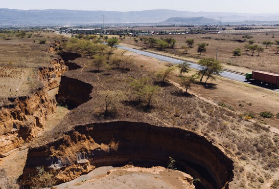
Topographic Surveys.
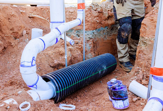
As-Built Surveys.
Right of Way Engineering.
UAV/UAS (Drone) Mapping.
ALTA/ACSM Land Title Surveys.
Construction Staking.
Legal Descriptions & CADD Automation.
Utility Research & Mapping.
High-Definition 3D Laser Scanning.
Exhibit Map Creation.
Expert GIS Solutions and Mapping Services
We provide a wide range of GIS consulting and spatial analysis services tailored to government, private sector, and development partners. From basic mapping to advanced geospatial data modeling, our GIS specialists help you make data-driven decisions.
Our GIS services include:
GIS Needs Assessment.
Land Use and Zoning Mapping.
Geodatabase Design & Implementation.
Terrain Modeling and 3D Spatial Analysis.
Utility Network Mapping.
Digitizing and Conversion of Static Data.
CAD to GIS Data Integration.
Web-Based GIS Platforms.
Aerial Drone Mapping.
GIS Application Development.
Development of Land Information Systems (LIS).
Survey & GIS Equipment and Software at LER CONSULT LTD
We are equipped with modern hardware and licensed software to ensure high accuracy, fast turnaround, and top-tier deliverables.
Hardware:
Office & Field Computers.
RTK GPS Equipment.
Geodetic GPS Systems.
Survey Total Stations.
Field Data Collectors.
UAV/Drone Mapping Tools.
Levels, Rods, and Staves.
Plotters & Printing Equipment.
Field Vehicles.
Software:
ESRI ArcGIS 10.1.
AutoCAD Civil 3D.
ERDAS Imagine.
ENVI 4.0
Sokkia Prolink.
Ashtech Solutions.
Microsoft Office Suite.
Windows 7 & 8.